IDGeo

Our story

It starts with a decision about land and water

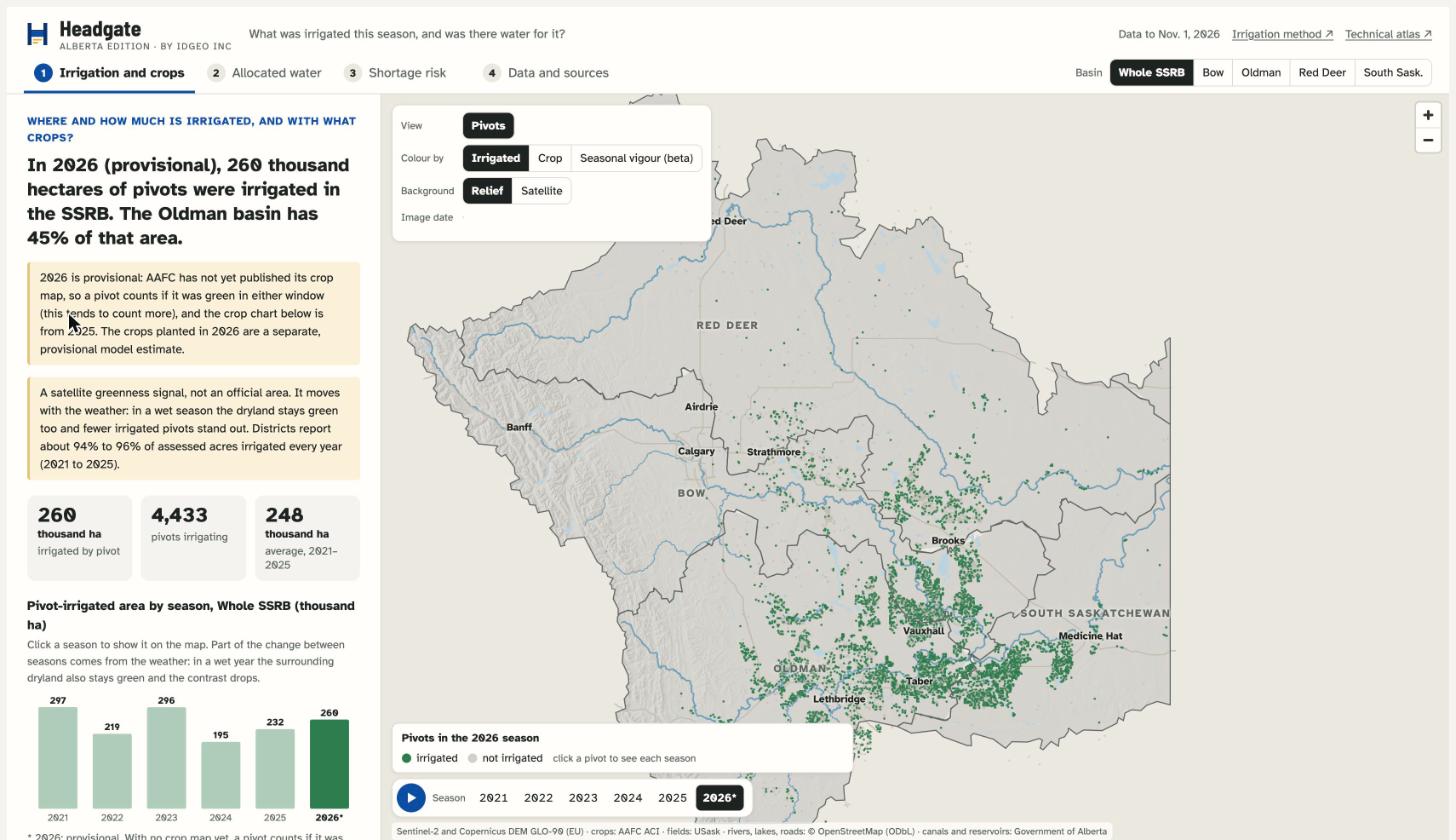
The South Saskatchewan Basin is closed to new licences, and irrigation is still expanding. As far as we could find, nobody publishes which fields were irrigated, season by season. So we built Headgate, and opened a team for geospatial and remote-sensing work, from Calgary.

IDGeo began in 2016 to give the people who decide a clearer, earlier view of land, from space. We started on farms in Brazil, and followed the question wherever it led: to credit and insurance, to land and environmental due diligence, and to development projects in Africa, where we have worked with FGV and CIITTA. Every time, we did it the same way: the open data of the world's space agencies, our own models, and people who know the land.

We want land and water decisions to be more sustainable, more profitable and safer, with evidence you can check, from sources we name.

IDGeo is led by Ronan Campos, who has worked in high-performance agriculture since 2006.

  1. 2006Ronan Campos starts in high-performance agriculture.
  2. 2016IDGeo is founded in Brazil, as a startup.
  3. 2023First projects in Africa, with FGV and CIITTA.
  4. 2026Alberta: Headgate and geospatial services, from Calgary.
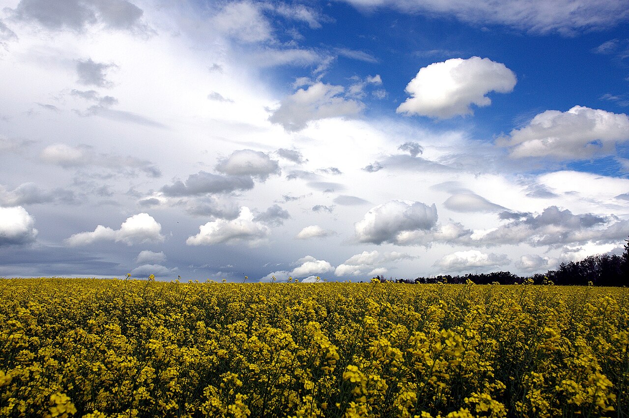
A field of yellow canola in flower under a sky of broken cloud, Alberta
Canola in flower
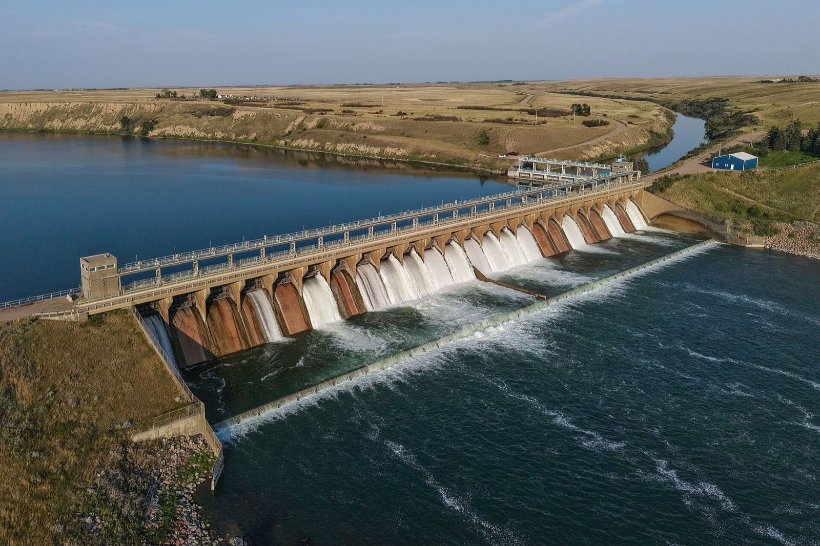
Aerial view of the Bassano Dam on the Bow River, with water spilling through its gates beside a reservoir on the prairie
Bassano Dam, on the Bow River: it feeds the Eastern Irrigation District
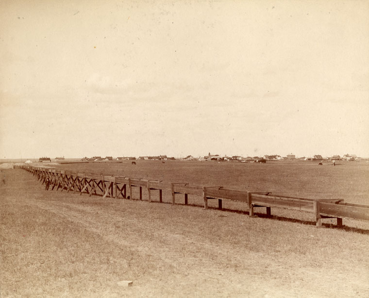
Sepia photograph of a long wooden irrigation flume running across the prairie toward the town of Lethbridge, about 1890 to 1905
Lethbridge flume, 1890s
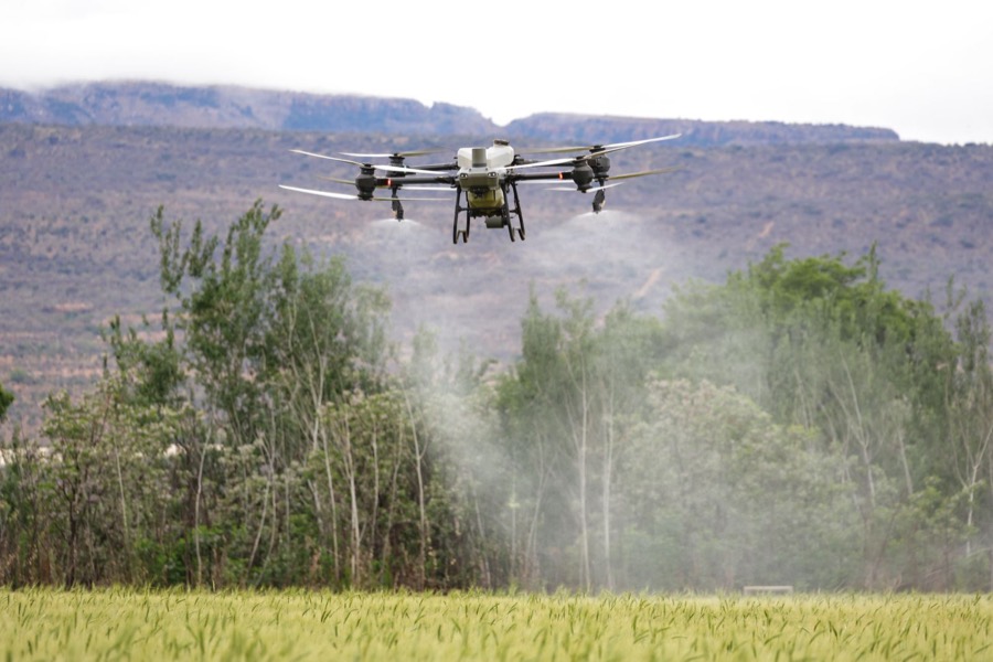
A drone flying over a green crop field with mountains behind
Drones over the crop
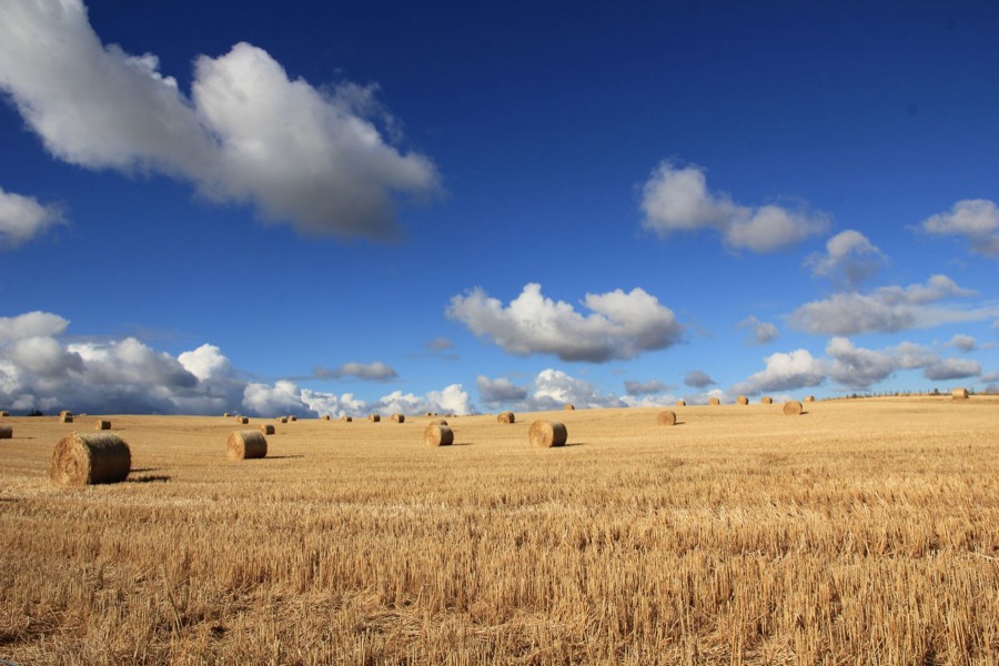
Round hay and straw bales on a harvested golden field under a blue sky
Hay and straw
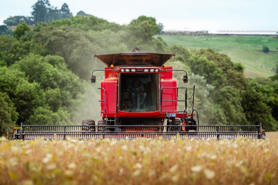
A red combine harvester working in a golden crop
Harvest
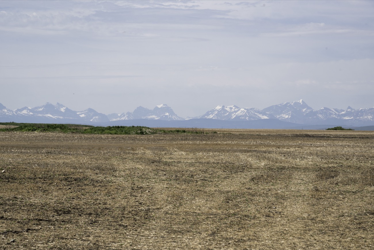
Snow-capped Rocky Mountains on the horizon above open prairie farmland in Alberta
The prairie and the Rockies

In southern Alberta, dams, canals and reservoirs carry the water that irrigated farms depend on. We read the result from the sky.Photos from Wikimedia Commons: Bassano Dam by Quintin Soloviev (CC BY 4.0); canola by Darren Kirby (CC BY-SA 2.0); Lethbridge flume, about 1890 to 1905, from the Galt Museum & Archives (no known copyright restrictions); prairie and Rockies from Good Free Photos (public domain); other photos from Pexels, under their free licences.

Our work abroad

Côte d'Ivoire, Nigeria and Cameroon: reading land where data is scarce

Since 2023 IDGeo has worked with FGV and CIITTA on agricultural development projects in Africa. Where there is little local data and cloud covers the sky for months, we build the picture from space.

2023

Côte d'Ivoire, with FGV

Our first work together: a feasibility study, done in weeks, that turned a topographic survey into maps of relief, erosion risk and water, including for fish farming.

2023–24

Nigeria, with CIITTA

Floodplain mapping of a farm site on a major river: elevation, slope, land cover, water bodies and month-by-month flood progression, from optical and radar imagery, to show where land can be farmed and stays dry. Delivered in February 2024, with quarterly updates.

2026

Cameroon, with FGV and CIITTA

A land-suitability and flood-risk study of about 1,500 km² of savanna with little structured farming: six zones, and dry, normal and wet climate scenarios. Cloud covers the sky for more than 180 days a year there, and radar imagery can see through it.

The work accompanied two field missions, in May and August 2026, and produced dozens of maps, a GIS database and a technical report, with a web portal in development.

What it means for Alberta.

The same technology, taken to territories where cloud, scale and little local data make ground visits slow and costly. Alberta's irrigation expansion asks the same question: where does it fit on the land?

Our approach

How we read a territory

A territory is more than a map. It is land, water, crops, ecosystems and infrastructure, and how they change from one season to the next. We build that picture, keep it current, and tie every answer to its source, so decisions about land and water rest on evidence.

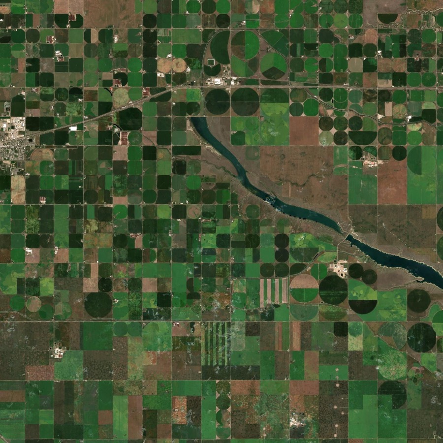
Natural-colour satellite view of fields, centre pivots, a canal and a reservoir east of Lethbridge

Know the land

Fields, centre pivots, canals, reservoirs, wetlands and crops as clean, keyed layers. In Alberta's South Saskatchewan Basin that is 115,864 mapped fields (dryland included) and 9,327 irrigation pivots.

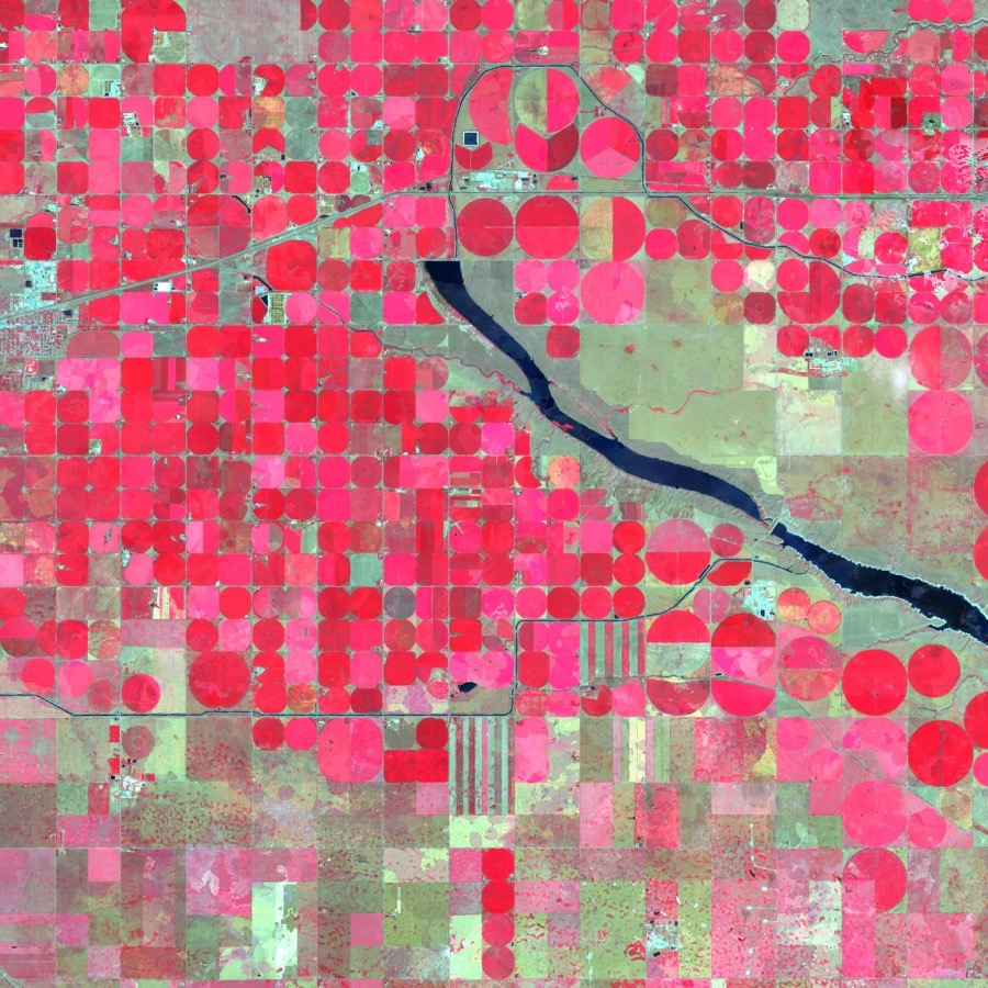
False-colour satellite view of the same area in dry 2023, with irrigated circles in red

Watch it change

Every season since 2021, from optical, thermal and radar imagery, so you see what changed on the land and what was only the weather.

The Headgate map of the South Saskatchewan Basin with irrigated pivots in green

Decide with evidence

Irrigation, crop condition, water supply, drought and environmental risk, each call with a confidence rating (calibration under way) and its sources, for districts, farms, lenders, insurers, conservation groups and governments.